
Community Sentiment
Do you agree?
Do you agree with the AI automation risk score calculated for this occupation?
AI Automation Index
Task-level automation exposure for Geoscientists, Except Hydrologists and Geographers: 32 O*NET tasks scored against their work activities, plus the simulator.
Automation Exposure
32 of 32 tasks scored
Median Salary
BLS OEWS, May 2025 — this exact occupation
Employment Level
23,470 people hold this job — size, not growth
Projected 2025–35
1,800 openings a year · BLS line item
BLS OEWS publishes 50 state estimates for this occupation. Each is its own survey estimate, not the national median adjusted for local prices.
$61,810 – $145,220
Highest medians
Lowest medians
State figures come from the 19-2042 row in the May 2025 state panel. States where the estimate was suppressed or too small to publish are absent.
Each task is mapped to its work activities, scored for AI automation potential, and weighted by how important those activities are to the job. These are the components.
Importance-weighted mean of the scored tasks. This is the headline index.
Share of weighted tasks in hands-on or machine-operating work activities.
Share in analysis, decisions, teaching, directing, advising, or caring for others.
Share in documenting, recording, and administrative activities.
Share of weighted tasks O*NET rewrote in a recent update. Reported, not folded into the score.
O*NET's own rating of how serious an uncorrectable mistake would be here — respondents, not us. Deliberately not in the index: the score measures what AI can do with the task content, and multiplying it by stakes would be our judgment dressed as data.
32 tasks for this occupation, weighted by work-activity importance. Shares below are of total task weight, not task count.
15 tasks
14 tasks
3 tasks
Move your week away from the high-exposure tasks and toward the ones that need judgment. The simulator recalculates the index as you shift the mix.
Simulate Upskilling →Locate and review research articles or environmental, historical, or technical reports.
information retrieval — AI can search and summarize literature, human curates
Communicate geological findings by writing research papers, participating in conferences, or teaching geological science at universities.
text generation — Reports drafted; presentations need human delivery
Plan or conduct geological, geochemical, or geophysical field studies or surveys, sample collection, or drilling and testing programs used to collect data for research or application.
decision support — Study designs aided; scientific accountability human
Prepare geological maps, cross-sectional diagrams, charts, or reports concerning mineral extraction, land use, or resource management, using results of fieldwork or laboratory research.
visual inspection — Generates maps from data; cartographic judgment human
Analyze and interpret geological data, using computer software.
data analysis — Geological/geographic data analysis with human review
Investigate the composition, structure, or history of the Earth's crust through the collection, examination, measurement, or classification of soils, minerals, rocks, or fossil remains.
information retrieval — Geology literature research aided; field work human
Analyze and interpret geological, geochemical, or geophysical information from sources, such as survey data, well logs, bore holes, or aerial photos.
data analysis — Geological/geographic data analysis with human review
Locate and estimate probable natural gas, oil, or mineral ore deposits or underground water resources, using aerial photographs, charts, or research or survey results.
data analysis — Analyzes geospatial data; field validation still needed
Study historical climate change indicators found in locations, such as ice sheets or rock formations to develop climate change models.
information retrieval — Literature synthesis aided; field hydrology needs humans
Review work plans to determine the effectiveness of activities for mitigating soil or groundwater contamination.
decision support — Evaluates conservation plans; judgment and field context needed
Assess ground or surface water movement to provide advice on issues, such as waste management, route and site selection, or the restoration of contaminated sites.
physical manipulation — Measuring environmental characteristics needs instruments
Identify risks for natural disasters, such as mudslides, earthquakes, or volcanic eruptions.
data analysis — Statistical analysis of environmental datasets is automatable
Advise construction firms or government agencies on dam or road construction, foundation design, land use, or resource management.
information retrieval — Environmental advice is knowledge-based with review
Conduct geological or geophysical studies to provide information for use in regional development, site selection, or development of public works projects.
information retrieval — Geology literature research aided; field work human
Develop strategies for more environmentally friendly resource extraction and reclamation.
decision support — Resource plans need ecological and political judgment
Measure characteristics of the Earth, such as gravity or magnetic fields, using equipment such as seismographs, gravimeters, torsion balances, or magnetometers.
physical manipulation — Measuring environmental characteristics needs instruments
Review environmental, historical, or technical reports and publications for accuracy.
text generation — Proofreading text for accuracy is core LLM strength
Identify deposits of construction materials suitable for use as concrete aggregates, road fill, or other applications.
data analysis — Analyzes geospatial data; field validation still needed
Design geological mine maps, monitor mine structural integrity, or advise and monitor mining crews.
visual inspection — Generates maps from data; cartographic judgment human
Identify new sources of platinum group elements for industrial applications, such as automotive fuel cells or pollution abatement systems.
data analysis — Analyzes geospatial data; field validation still needed
Develop applied software for the analysis and interpretation of geological data.
text generation — Scientific code drafted; domain validation by humans
Locate potential sources of geothermal energy.
data analysis — Analyzes geospatial data; field validation still needed
Identify possible sites for carbon sequestration projects.
visual inspection — Physical site verification against specs is human
Provide advice on the safe siting of new nuclear reactor projects or methods of nuclear waste management.
decision support — Emergency advice needs situated judgment and authority
Inspect construction projects to analyze engineering problems, using test equipment or drilling machinery.
visual inspection — Construction oversight requires on-site physical presence
Determine methods to incorporate geomethane or methane hydrates into global energy production or evaluate the potential environmental impacts of such incorporation.
information retrieval — Literature synthesis strong; field measurement human
Develop ways to capture or use gases burned off as waste during oil production processes.
text generation — Industrial methods need domain validation and testing
Collaborate with medical or health researchers to address health problems related to geological materials or processes.
interpersonal — Coordinating research programs is relational leadership
Test industrial diamonds or abrasives, soil, or rocks to determine their geological characteristics, using optical, x-ray, heat, acid, or precision instruments.
physical manipulation — Lab sample handling and instruments are hands-on
Determine ways to mitigate the negative consequences of mineral dust dispersion.
decision support — Mitigation options; human owns compliance
Research geomechanical or geochemical processes to be used in carbon sequestration projects.
information retrieval — Geology literature research aided; field work human
Research ways to reduce the ecological footprint of increasingly prevalent megacities.
decision support — Mitigation options; human owns compliance
Bloggers & authors: Embed this interactive calculator directly in your articles or comparison guides. It loads dynamically via a responsive iframe (auto-resizing to prevent double scrollbars) and provides a direct, high-value tool for your audience.
<div class="giniloh-calculator-embed" data-calculator="geoscientists-except-hydrologists-and-geographers"></div>
<script src="https://giniloh.com/embed.js" async></script> Community Sentiment
Do you agree with the AI automation risk score calculated for this occupation?
Method
Check: across the 910 occupations where O*NET also rates how far machine speed sets the pace, this index moves opposite to it (Spearman ρ = -0.49). The more a job is paced by equipment, the less of its task content AI can address — the relationship you would expect if the scoring is working.
Sources · O*NET 31.0 (task records to 08/2026) · BLS OEWS May 2025 · BLS projections 2025-2035 · rubric v2.1 · tasks for O*NET, not a forecast
See the full method →Related Article
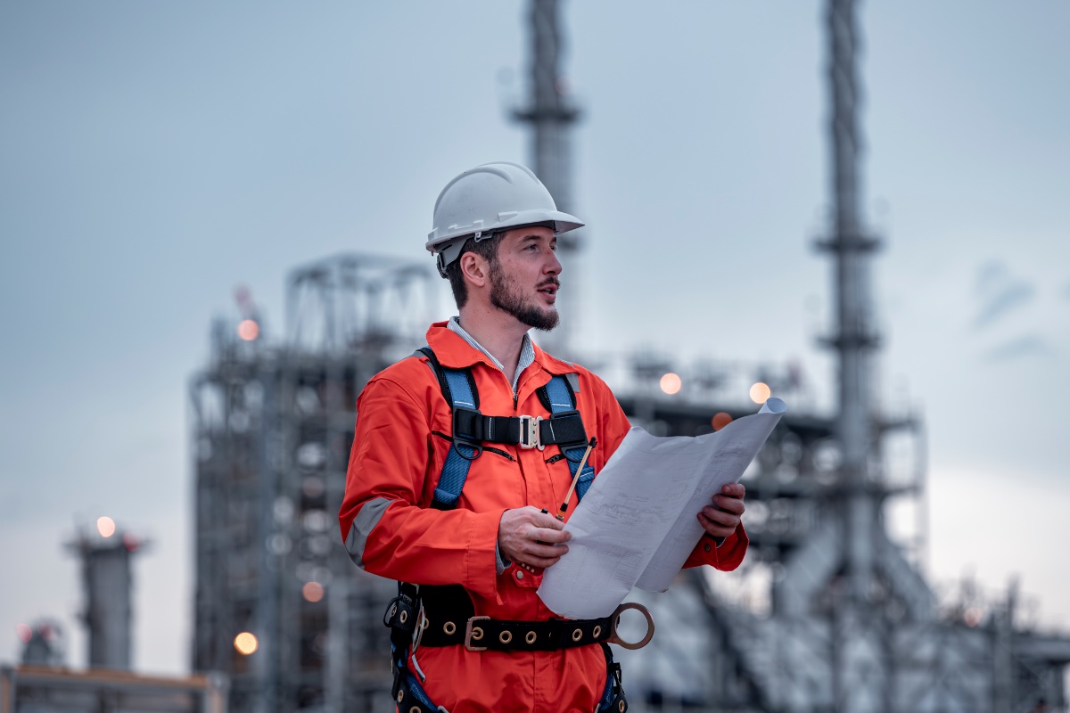
Worried robots are coming for your paycheck? You’re not alone—but the real story is far more hopeful. This guide cuts through the scare headlines to reveal exactly where smart, sustainable career opportunities exist right now. We’ve curated a list of true ai proof jobs—roles in healthcare, skilled trades, and cybersecurity that not only survive automation but thrive because of human judgment and empathy. You’ll get specific, money-making data on projected growth (the BLS says wind turbine technicians, for instance, will grow 44% by 2032), real salary ranges from active job listings, and a simple self-assessment quiz to identify your own most resilient path. Plus, we name companies hiring today and the niche job boards they use. Stop worrying and start planning—your secure career is closer than you think.
Read Article ->